GPR UTILITY SURVEYS
Chartered Surveyor – Precise 3D Laser Scanning, Newcastle
Reencon Chartered Surveyors - 35 years of expertise. Advanced technology. Personalised service.
Call now to discuss your project.
Get In TouchAbout Reencon Chartered Surveyors
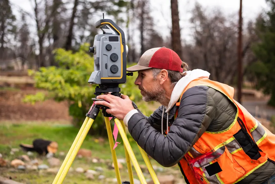
Reencon Chartered Surveyors is one of the few fully chartered land surveying companies in Northern Ireland, proudly serving Belfast, Newcastle, Newry, Ballynahinch, and Armagh. We specialise in high-precision services, including 3D modelling, scan-to-BIM, underground utility mapping, and detailed topographical surveys. With 35 years of experience, we combine traditional expertise with the latest technology to deliver comprehensive and reliable data. Every line is drawn, and every point is carefully recorded, ensuring that nothing is missed. Our accurate models help clients make informed decisions, and our personal service means you will work with the same expert even years later. Backed by glowing Google reviews and proven results in real case studies, we are trusted to get the job done right—every time.
Enquire Now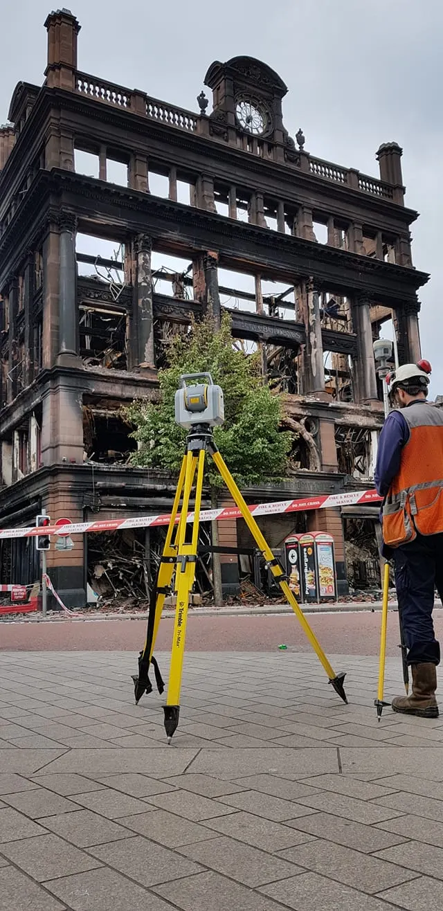
What we offer
Photographic & Video Surveys
Capture detailed visual records of your site conditions with high-quality imagery and video.
Topographical Surveys
Map land features and terrain precisely to support planning and construction work.
Dispute Visualisation
Use 3D modelling to clearly visualise boundaries and resolve land or structural disputes with reliable visual evidence.
Underground Utility Mapping
Locate hidden pipes, cables, and obstructions using GPR, EML scanning, and same-day utility detection reports for safe and efficient planning.
3D Model Conversion
Convert existing point cloud data into detailed and accurate 3D building models for use in planning and development.
Building Information Modelling
Create intelligent 3D models that support design, construction, and long-term facility management.
Why choose us?
- 35 years of industry experience ensuring reliable and trusted service.
- Advanced 3D laser scanning technology for millimetre-accurate results.
- Personalised service with the same expert revisiting your site, even years later.
- Comprehensive surveying solutions tailored to architects, engineers, and developers.
- Specialists in boundary disputes with professional advice and technical data.
- Detailed topographical surveys linked to the O.S. National Grid if required.
- Rapid utility detection surveys with on-site reports available the same day.
- Commitment to staying ahead with the latest technology and industry developments.

Reencon created several photorealistic 3d models of buildings using the latest Photogrammetry software and supplied the data in point cloud and 3d Pdf format at a very reasonable cost and time frame compared to laser scanning quotes.
Reencon Development Services provides an accomplished, efficient and cost-effective service for your land surveying requirements. They are a very experienced company that provides a service, from properly understanding the brief to delivering the survey, carried out in a very professional manner. I would have no hesitation in recommending Reencon Development Services, and they are always included in the shortlist tenders for surveying work.


Book your survey today
Get expert insight from a trusted chartered surveyor using advanced 3D laser scanning. Talk now to discuss your project and get fast, professional support.
028 9551 3603